

Geomatics Survey - 3D Surveying
Laser NDT Scanning: An Overview
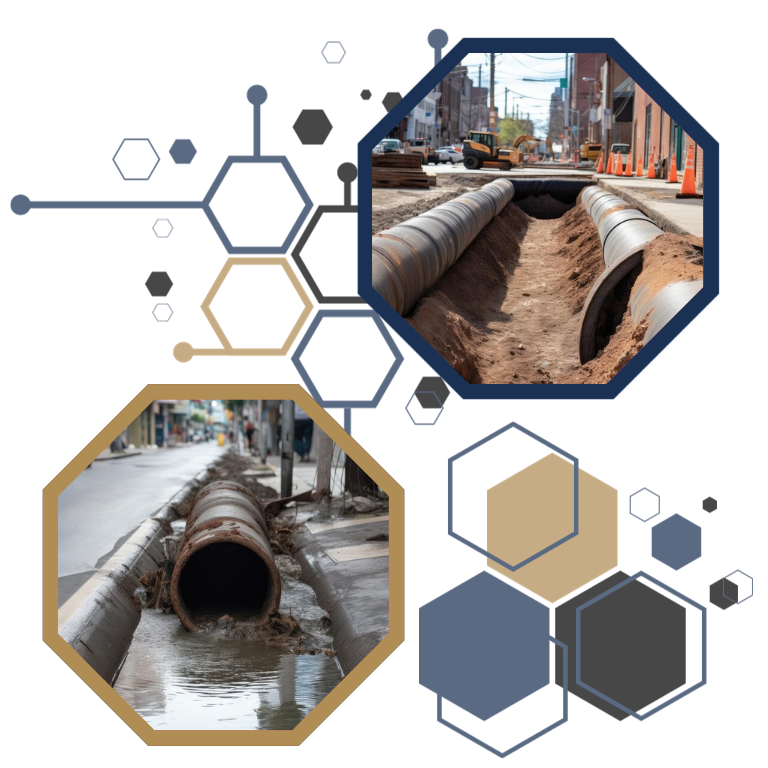
Laser NDT scanning generates a ‘point cloud,’ a versatile foundation for multiple deliverables. This point cloud is spatially conscious, capturing precise measurements across diverse planes. Such scans have extensive applications, ranging from as-built documentation and safety and construction planning to tank inspection and QA/QC in fabrication. Compatibility with top-tier vendors like AutoDesk and Bentley makes the point cloud a powerful tool.
Kiefner's Cutting-Edge Approach
Kiefner’s Laser NDT services stand out in efficiency. We employ advanced hardware for rapid field scanning, promising swift deliverables. As an internationally renowned NDT company, Kiefner offers Laser NDT services globally. Our unique “dual-task” workflow, where field data transfer and registration happen concurrently, ensures projects remain efficient, budget-friendly, and timely. With ties to leading consultants and vendors, we can manage Laser NDT projects of all scales and offer bespoke services tailored to client needs.
Applications Across Project Lifecycles
Laser NDT scanning is a valuable asset from project inception to optimization. The resulting intelligent model is a multifunctional tool for safety, construction, and optimization tasks. Remote site access and highly accurate measurements (up to 2mm precision) present unparalleled advantages. Clients can also annotate specific areas and integrate supportive documents through our cloud service. Our scanning expertise spans various sectors, including construction, oil and gas, and renewable power generation.
Benefits of Kiefner's 3D Laser Scanning
- Database Integration: Our 3D models can connect with SQL databases, allowing data-rich queries post-linking.
- BIM Models: Our 3D models are genuine BIM, encapsulating context-specific data.
- Financial Forecasting: A detailed bill of materials assists clients in precise cost forecasting.
- Enhanced Planning: Remote job and safety planning eliminates the need for physical site visits.
- Simulation Capabilities: Our models can simulate construction projects and renovations, ensuring foresight and efficiency.
- Reduced Errors: Remote measurements and annotations maximize planning accuracy, minimizing error-associated costs.
- Detailed Imaging: Ground-level orthographic photography offers detail-rich, geo-referenced visuals.
Engage with Kiefner for state-of-the-art Laser NDT scanning and harness the power of precise 3D visualization for your projects.